Norfolk Broads Map
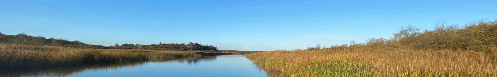
The Norfolk Broads is one of Britain’s major tourist destinations and also Britain’s largest protected wetland, with 125 miles of water and no locks to stand in your way. The Broads are a favourite with first-time boaters as they offer the perfect combination of easy navigation thriving wildlife, fishing, birdwatching, landmark sites, shopping and picture-perfect pubs along the riverbank.
Interactive Map Of The Broads
Explore the Norfolk Broads by map, find pubs, mooring locations, toilets, bridges, villages and how long it takes to get there by boat.
Map Instructions
To expand the map of the Norfolk Broads, click in the box marked [ ] on the top right of the map, when you close the map, you will come back to this page.
To discover where you can find moorings, pubs and itineraries on the map, please use the toggle button on the top left of the map. or when the map has been expanded, tick and untick the selections offered, to only show what you need on the map. You can also click on the names of towns and mooring locations to highlight them on the map.
Norfolk Broads Boat Trip Calculator
Use the Norfolk Broads Boat Trip Calculator to find how long it will take to get from one place to another by boat.